Mt. Garfield Trail
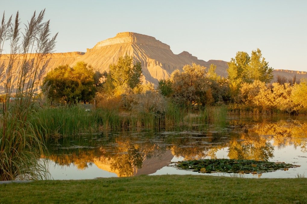
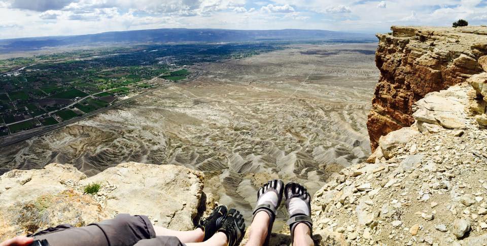
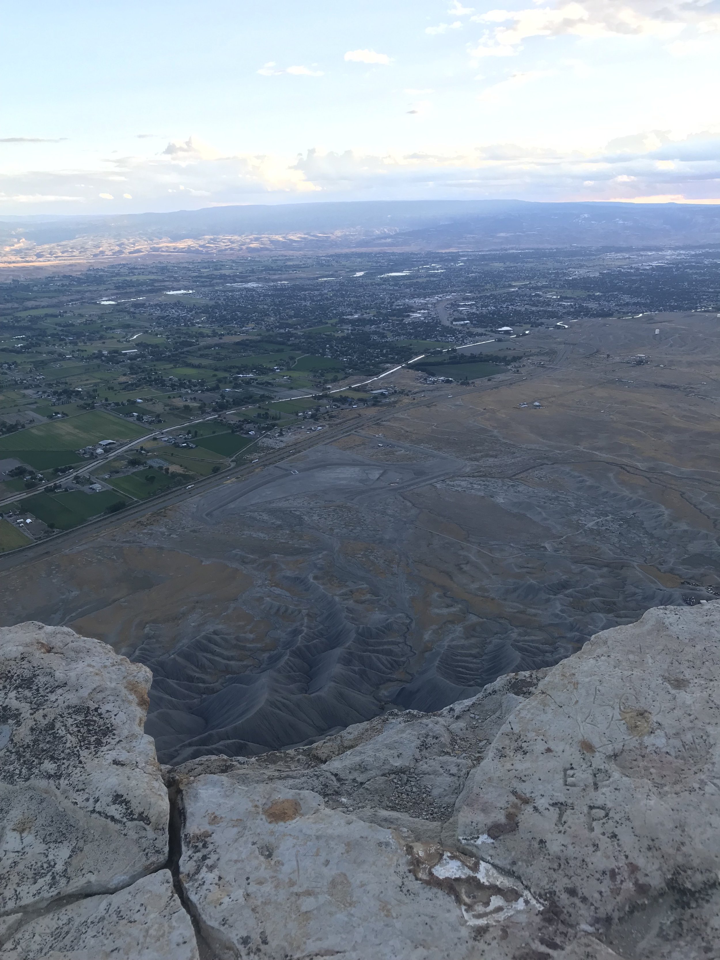
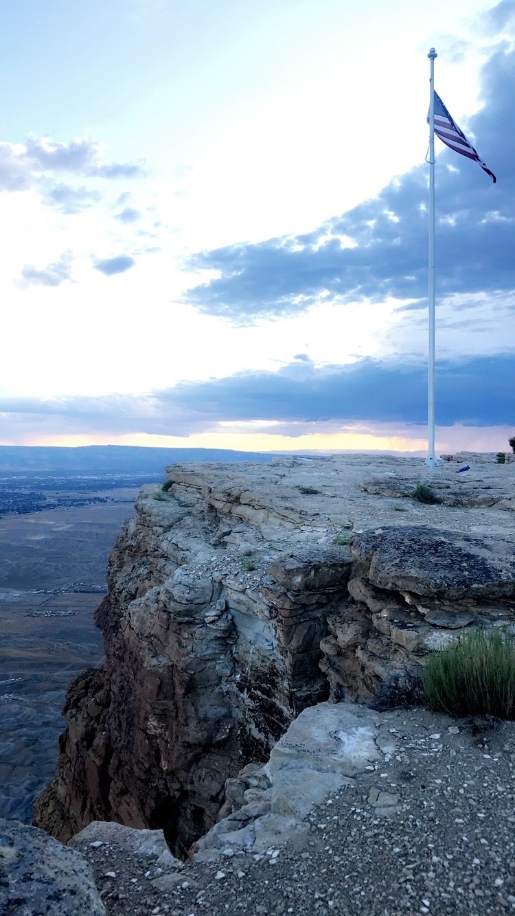
For those seeking more adventure than a leisurely stroll, we present Mt. Garfield, northwest of Palisade. This bold promontory in the Bookcliffs has an elevation of 1,900 feet from the roadway.
Where is the Mt. Garfield trailhead?
Hikers have a choice between two paths that lead from the same trailhead. Take Palisade Exit 42 and turn south for a short distance. Turn west on 37 3/10 Road and travel for about 2 miles until G 7/10 Road. Go through the I-70 underpass and park.
There you’ll find the Gearhart Mine Trail, which detours to an old coal mine and tramway. This trail is 1/2 mile longer than the Mt. Garfield Trail, which is about 2 miles. Both trails have steep ascents. To access the top of the escarpment, you’ll find a gap in the upper cliff face about 1/2 mile east of the summit. This is a strenuous hike, but the payoff is great, with stunning views of Palisade and the Grand Valley.
A third option to hike Mt. Garfield in Palisade is to hike from the backside at the Coal Canyon starting point. This trail has a steep ascent but not as much as hiking from the front. To get to the trailhead, drive east of Palisade on I-70 and exit at the Cameo exchange (Exit 46). Cross the Colorado River and drive past the power plant 1 1/2 miles to a signed entry gate. This trail requires high-ground clearance and is only open from May 30 through December 1.
Mt. Garfield Trailhead